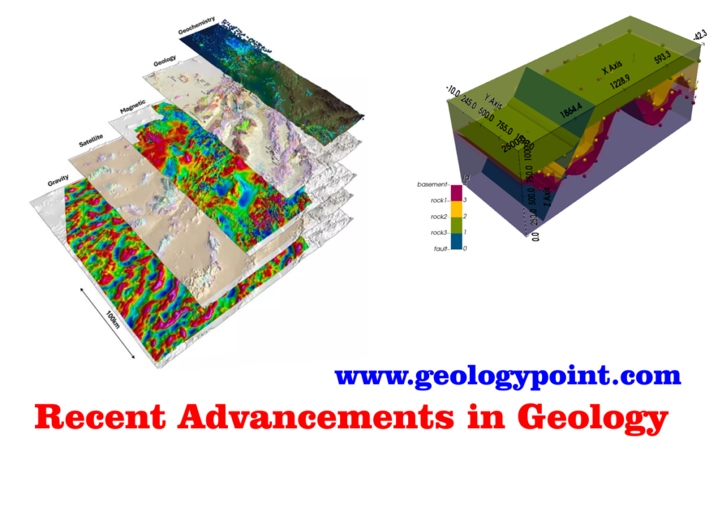
Recent Advancements in Geology Uncategorized AdminMay 31, 2025February 20, 202616 mins2 Once associated with field notebooks, rock hammers, and sketches of fossils, geology has experienced a quiet transformation.…continue reading..
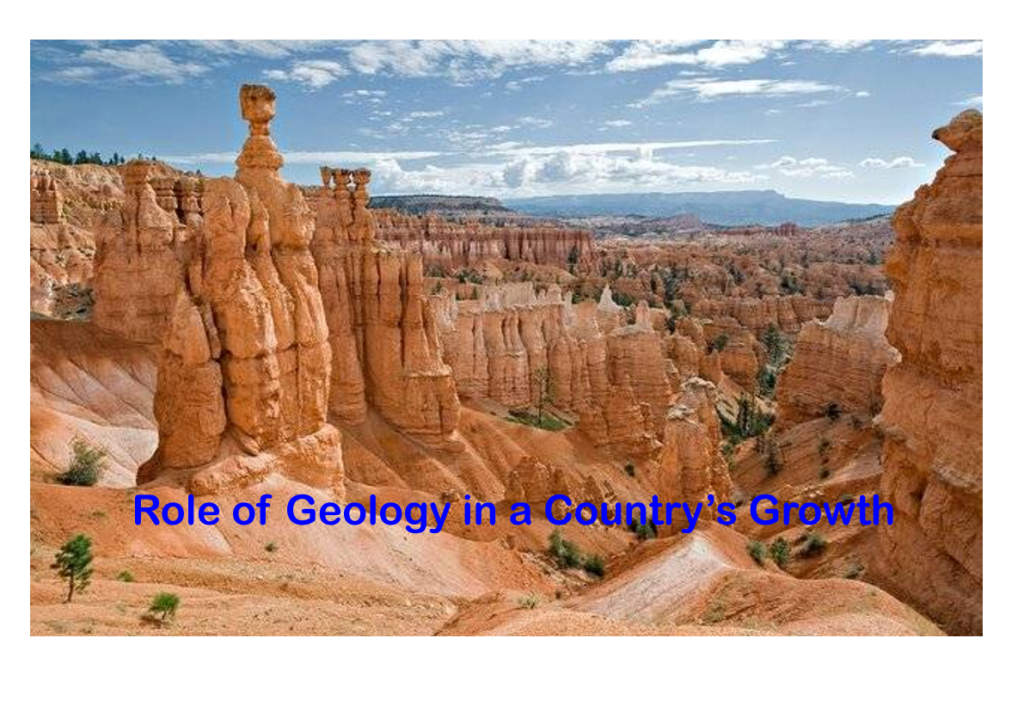
Role of Geology in a Country’s Growth Uncategorized AdminMay 31, 2025February 20, 202614 mins0 When we think about a country’s development, our minds often drift to technology, infrastructure, education, or economic…continue reading..
Application of AI and ML in Geology Uncategorized AdminMay 31, 2025February 20, 202616 mins0 Geology, long viewed as a boots-on-the-ground science, is undergoing a quiet but powerful revolution. With the rise…continue reading..
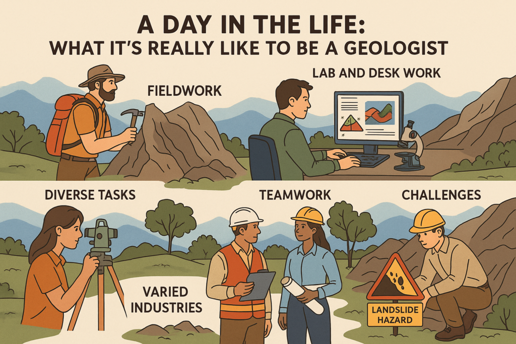
What It’s Really Like to Be a Geologist Uncategorized AdminApril 19, 2025July 12, 202510 mins0 Have you ever looked at a mountain and wondered how old it is? Or picked up a…continue reading..
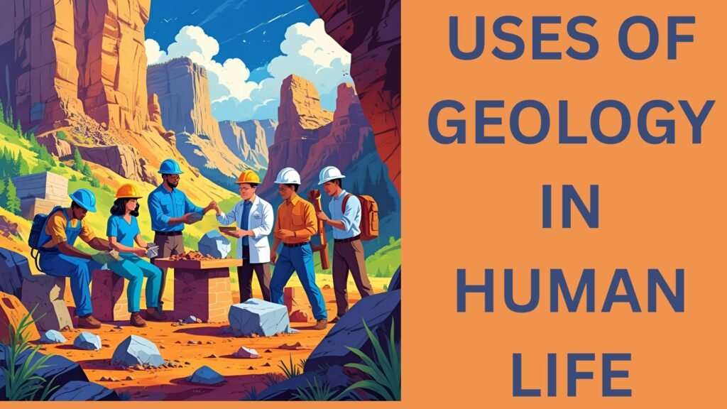
What are the uses of geology in human life? Uncategorized AdminApril 17, 2025August 4, 202513 mins0 Many of us picture rocks, fossils, and perhaps a scientist chipping away at a cliff face when…continue reading..